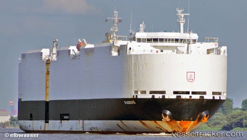
 VIKING PASSERO
Current Status
Where is the vessel?
VIKING PASSERO is currently in 37 nm E of Jacksonville Beach, based on AIS data received about 15h ago.
Latest AIS update:
Current position: 30.50697° N, 80.72345° W (37 nm E of Jacksonville Beach)
Average speed (last 7 days): Loading…
Average speed (last 30 days): Loading…
Vessel profile: VIKING PASSERO is a Vehicles Carrier with dimensions 182m x 32m.
This page combines live AIS, route history, probable destination signals, nearby traffic, and port activity for practical vessel monitoring.
The current position of vessel VIKING PASSERO is 30.50697 lat / -80.72345 lng. Updated: 2026-07-17 04:04:40 UTCNearest reference points:
- Near Fernandina
- Near Ponte Vedra
- Near Elkton
Currently sailing under the flag of Marshall Islands ![]()
VIKING PASSERO built in 2012 year
Deadweight:
12755 tDetails:
Live Vessel VIKING PASSERO Analytics (details, animations, etc.)
Recent AIS points (UTC):
2026-07-17 01:10:46 UTC · 30.38946, -81.46797 · SOG 8.9 kn · COG 129°2026-07-17 02:12:33 UTC · 30.38499, -81.25249 · SOG 15.2 kn · COG 101°
2026-07-17 04:04:40 UTC · 30.50697, -80.72345 · SOG 16.1 kn · COG 73°
2026-07-17 04:04:40 UTC · 30.50697, -80.72345 · SOG 16.1 kn · COG 73°