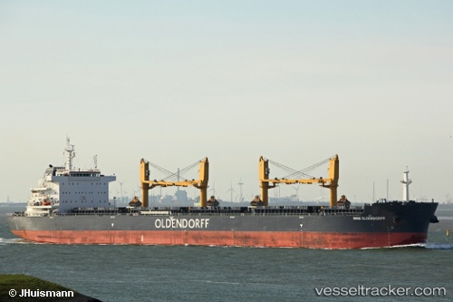
 CLIPPER IRIS
Current Status
Where is the vessel?
CLIPPER IRIS is currently in Near Al Adabiyah, based on AIS data received about 15h ago.
Latest AIS update:
Current position: 29.78575° N, 32.52215° E (Near Al Adabiyah)
Average speed (last 7 days): Loading…
Average speed (last 30 days): Loading…
Vessel profile: CLIPPER IRIS is a Cargo with dimensions m x m.
This page combines live AIS, route history, probable destination signals, nearby traffic, and port activity for practical vessel monitoring.
The current position of vessel CLIPPER IRIS is 29.78575 lat / 32.52215 lng. Updated: 2026-07-02 13:45:11 UTCNearest reference points:
- Near Al Adabiyah
- Near Ras Sudr
- Near AL ADABIYAH
Currently sailing under the flag of Marshall Islands ![]()
Details:
Live Vessel CLIPPER IRIS Analytics (details, animations, etc.)
Recent AIS points (UTC):
2026-07-02 10:45:02 UTC · 30.20146, 32.56143 · SOG 9.9 kn · COG 156°2026-07-02 11:55:02 UTC · 30.03339, 32.57661 · SOG 7.7 kn · COG 171°
2026-07-02 13:25:12 UTC · 29.83747, 32.54919 · SOG 10.5 kn · COG 213°
2026-07-02 13:45:11 UTC · 29.78575, 32.52215 · SOG 10.7 kn · COG 183°