 CETUS HUMPBACK
Current Status
Where is the vessel?
CETUS HUMPBACK is currently in Near PORTLAND-AU, based on AIS data received about 14h ago.
Latest AIS update:
Current position: 38.34799° S, 141.62157° E (Near PORTLAND-AU)
Average speed (last 7 days): Loading…
Average speed (last 30 days): Loading…
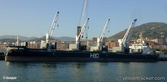
Vessel profile: CETUS HUMPBACK is a Cargo with dimensions m x m.
This page combines live AIS, route history, probable destination signals, nearby traffic, and port activity for practical vessel monitoring.
The current position of vessel CETUS HUMPBACK is -38.34799 lat / 141.62157 lng. Updated: 2026-06-03 16:25:52 UTCCurrently sailing under the flag of Marshall Islands ![]()
Details:
Live Vessel CETUS HUMPBACK Analytics (details, animations, etc.)
Recent AIS points (UTC):
2026-06-03 13:31:51 UTC · -38.34805, 141.62161 · SOG 0 kn · COG 15°2026-06-03 14:13:53 UTC · -38.34806, 141.62157 · SOG 0 kn · COG 15°
2026-06-03 15:43:52 UTC · -38.34799, 141.62157 · SOG 0 kn · COG 15°
2026-06-03 16:25:52 UTC · -38.34799, 141.62157 · SOG 0 kn · COG 15°