 KALLISTI
Current Status
Where is the vessel?
KALLISTI is currently in Near Rieme, based on AIS data received about 15h ago.
Latest AIS update:
Current position: 51.17269° N, 3.79851° E (Near Rieme)
Average speed (last 7 days): Loading…
Average speed (last 30 days): Loading…
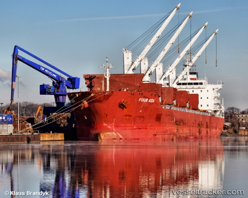
Vessel profile: KALLISTI is a Bulk Carrier with dimensions m x m.
This page combines live AIS, route history, probable destination signals, nearby traffic, and port activity for practical vessel monitoring.
The current position of vessel KALLISTI is 51.17269 lat / 3.79851 lng. Updated: 2026-06-19 14:14:37 UTCNearest reference points:
- Near Rieme
- Near Oostakker
- Near SLUISKIL
Currently sailing under the flag of Marshall Islands ![]()
Details:
Live Vessel KALLISTI Analytics (details, animations, etc.)
Recent AIS points (UTC):
2026-06-19 10:29:35 UTC · 51.17264, 3.79850 · SOG 0 kn · COG 202°2026-06-19 11:56:03 UTC · 51.17167, 3.79833 · SOG 0 kn · COG -1°
2026-06-19 13:35:46 UTC · 51.17269, 3.79848 · SOG 0 kn · COG 202°
2026-06-19 14:14:37 UTC · 51.17269, 3.79851 · SOG 0 kn · COG 202°