 INOI
INOI
Current Status
Where is the vessel?
INOI is currently in Near Waterport, based on AIS data received about 15h ago.
Latest AIS update:
Current position: 36.10663° N, 5.36801° W (Near Waterport)
Average speed (last 7 days): Loading…
Average speed (last 30 days): Loading…
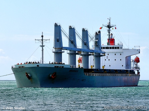
Vessel profile: INOI is a General Cargo with dimensions m x m.
This page combines live AIS, route history, probable destination signals, nearby traffic, and port activity for practical vessel monitoring.
The current position of vessel INOI is 36.10663 lat / -5.36801 lng. Updated: 2026-05-27 23:45:28 UTCNearest reference points:
- Near Waterport
- Near La Línea de la Concepción
- Near Algeciras
Currently sailing under the flag of Marshall Islands ![]()
Details:
Live Vessel INOI Analytics (details, animations, etc.)
Recent AIS points (UTC):
2026-05-27 19:55:27 UTC · 36.07191, -5.33830 · SOG 1.5 kn · COG 340°2026-05-27 20:05:37 UTC · 36.07080, -5.34272 · SOG 1.2 kn · COG 341°
2026-05-27 22:05:37 UTC · 36.07561, -5.31214 · SOG 0.5 kn · COG 89°
2026-05-27 23:45:28 UTC · 36.10663, -5.36801 · SOG 4.6 kn · COG 10°