 vesseltracker.com
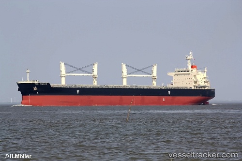
Vessel GN RUBY IMO: 9478573, MMSI: 538011477 Bulk Carrier
UTC, -33.90909, 25.67949, course: -1, speed: 0.1
UTC, -33.90925, 25.67933, course: 39, speed: 0.1
2026-02-26 04:29:34 UTC, -33.90928, 25.67945, course: 28, speed: 0.1
Live AIS position:
UTC. Near Deal Party),
updated 2026-02-26 04:29:34 UTC.
Find the position of the vessel GN RUBY on the map. The latter are known coordinates and path.
marine traffic ship tracker show on live map
The current position of vessel GN RUBY is -33.90928 lat / 25.67945 lng. Updated: 2026-02-26 04:29:34 UTCCurrently sailing under the flag of Marshall Islands
Details:
Last coordinates of the vessel:
UTC, -33.90910, 25.67934, course: 30, speed: 0UTC, -33.90909, 25.67949, course: -1, speed: 0.1
UTC, -33.90925, 25.67933, course: 39, speed: 0.1
2026-02-26 04:29:34 UTC, -33.90928, 25.67945, course: 28, speed: 0.1