 HORIZON VEGA
Current Status
Where is the vessel?
HORIZON VEGA is currently in 89 nm W of Gageohyangri, based on AIS data received about 15h ago.
Latest AIS update:
Current position: 33.70270° N, 123.35366° E (89 nm W of Gageohyangri)
Average speed (last 7 days): Loading…
Average speed (last 30 days): Loading…
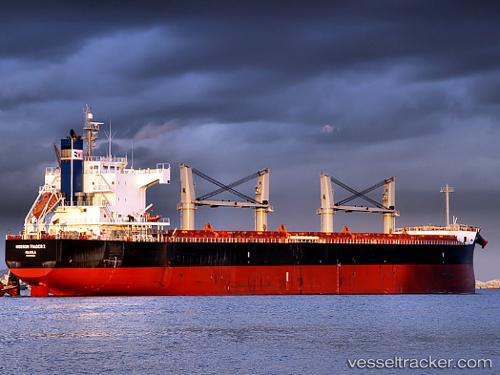
Vessel profile: HORIZON VEGA is a Bulk Carrier with dimensions m x m.
This page combines live AIS, route history, probable destination signals, nearby traffic, and port activity for practical vessel monitoring.
The current position of vessel HORIZON VEGA is 33.70270 lat / 123.35366 lng. Updated: 2026-06-03 10:15:07 UTCNearest reference points:
- 82 nm W of Gageohyangri
- 91 nm W of Gageohyangri
- 99 nm NE of Yangkou Pt
Currently sailing under the flag of Marshall Islands ![]()
Details:
Live Vessel HORIZON VEGA Analytics (details, animations, etc.)
Recent AIS points (UTC):
2026-06-03 07:29:08 UTC · 33.22399, 123.39751 · SOG 10 kn · COG 354°2026-06-03 08:12:58 UTC · 33.35190, 123.38247 · SOG 10.5 kn · COG 353°
2026-06-03 09:25:08 UTC · 33.56022, 123.36488 · SOG 10.3 kn · COG 353°
2026-06-03 10:15:07 UTC · 33.70270, 123.35366 · SOG 9.9 kn · COG 354°