 VAST CORAL
Current Status
Where is the vessel?
VAST CORAL is currently in 59 nm N of Rashid, based on AIS data received about 14h ago.
Latest AIS update:
Current position: 32.31983° N, 30.00512° E (59 nm N of Rashid)
Average speed (last 7 days): Loading…
Average speed (last 30 days): Loading…
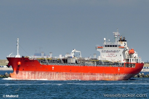
Vessel profile: VAST CORAL is a Oil/Chemical Tanker with dimensions m x m.
This page combines live AIS, route history, probable destination signals, nearby traffic, and port activity for practical vessel monitoring.
The current position of vessel VAST CORAL is 32.31983 lat / 30.00512 lng. Updated: 2026-05-22 16:12:10 UTCNearest reference points:
- Near EL DEKHEILA
- Near Alexandria
- 13 nm W of EL DEKHEILA
Currently sailing under the flag of Marshall Islands ![]()
Details:
Live Vessel VAST CORAL Analytics (details, animations, etc.)
Recent AIS points (UTC):
2026-05-22 13:32:49 UTC · 32.45482, 29.44575 · SOG 10.7 kn · COG 104°2026-05-22 13:50:31 UTC · 32.43835, 29.50540 · SOG 10.8 kn · COG 103°
2026-05-22 15:28:41 UTC · 32.35693, 29.84807 · SOG 11.3 kn · COG 103°
2026-05-22 16:12:10 UTC · 32.31983, 30.00512 · SOG 11.4 kn · COG 103°