 YU YAN
Current Status
Where is the vessel?
YU YAN is currently in 17 nm NW of Belanak Terminal, based on AIS data received about 14h ago.
Latest AIS update:
Current position: 4.36833° N, 106.03500° E (17 nm NW of Belanak Terminal)
Average speed (last 7 days): Loading…
Average speed (last 30 days): Loading…
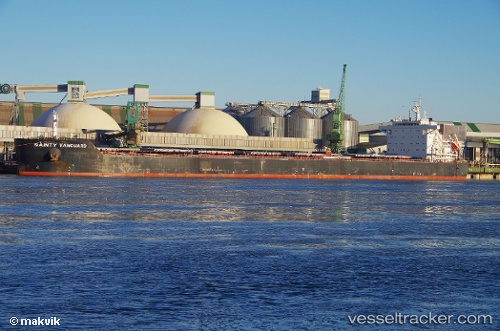
Vessel profile: YU YAN is a Bulk Carrier with dimensions m x m.
This page combines live AIS, route history, probable destination signals, nearby traffic, and port activity for practical vessel monitoring.
The current position of vessel YU YAN is 4.36833 lat / 106.03500 lng. Updated: 2026-05-22 10:10:56 UTCNearest reference points:
- 30 nm SW of Belanak Terminal
- 26 nm E of Belida Terminal
- 45 nm E of Kakap Natuna Terminal
Currently sailing under the flag of Marshall Islands ![]()
Details:
Live Vessel YU YAN Analytics (details, animations, etc.)
Recent AIS points (UTC):
2026-05-22 05:25:54 UTC · 4.95167, 106.39333 · SOG 8 kn · COG -1°2026-05-22 07:40:51 UTC · 4.67500, 106.21667 · SOG 8 kn · COG -1°
2026-05-22 08:25:53 UTC · 4.58500, 106.15833 · SOG 8 kn · COG -1°
2026-05-22 10:10:56 UTC · 4.36833, 106.03500 · SOG 8 kn · COG -1°