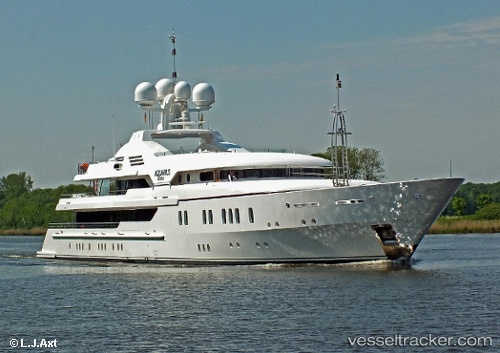
Maria
Current StatusWhere is the vessel?
Maria is currently in Near Monaco, based on AIS data received about 14h ago.
Latest AIS update:
Current position: 43.74055° N, 7.44594° E (Near Monaco)
Average speed (last 7 days): Loading…
Average speed (last 30 days): Loading…
Vessel profile: Maria is a Service Ship with dimensions 12m x 70m.
This page combines live AIS, route history, probable destination signals, nearby traffic, and port activity for practical vessel monitoring.
The current position of vessel Maria is 43.74055 lat / 7.44594 lng. Updated: 2026-08-03 01:51:01 UTCNearest reference points:
- Near Monaco
- Near Monte-Carlo
- Near SAINTJEAN CAP FERRAT
Details:
Live Vessel Maria Analytics (details, animations, etc.)
Recent AIS points (UTC):
2026-08-02 22:09:20 UTC · 43.74051, 7.44603 · SOG 0 kn · COG -1°2026-08-03 00:00:01 UTC · 43.74060, 7.44592 · SOG 0 kn · COG 67°
2026-08-03 01:27:02 UTC · 43.74052, 7.44597 · SOG 0 kn · COG 36°
2026-08-03 01:51:01 UTC · 43.74055, 7.44594 · SOG 0 kn · COG 57°