 vesseltracker.com
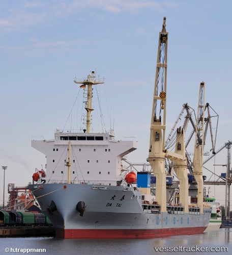
 DA TAI
Current Status
Where is the vessel?
DA TAI is currently in 30 nm NE of Cakerawala Terminal, based on AIS data received about 7h ago.
Latest AIS update:
Current position: 7.43521° N, 103.47779° E (30 nm NE of Cakerawala Terminal)
Average speed (last 7 days): Loading…
Average speed (last 30 days): Loading…
Vessel profile: DA TAI is a General Cargo with dimensions m x m.
This page combines live AIS, route history, probable destination signals, nearby traffic, and port activity for practical vessel monitoring.
The current position of vessel DA TAI is 7.43521 lat / 103.47779 lng. Updated: 2026-05-02 03:38:07 UTCNearest reference points:
- 23 nm E of Muda Marine Terminal
- Near Muda Marine Terminal
- 45 nm NW of Muda Marine Terminal
Currently sailing under the flag of Singapore ![]()
Details:
Live Vessel DA TAI Analytics (details, animations, etc.)
Recent AIS points (UTC):
2026-05-02 03:38:07 UTC · 7.43521, 103.47779 · SOG 13.4 kn · COG 140°2026-05-02 03:38:07 UTC · 7.43521, 103.47779 · SOG 13.4 kn · COG 140°
2026-05-02 03:38:07 UTC · 7.43521, 103.47779 · SOG 13.4 kn · COG 140°
2026-05-02 03:38:07 UTC · 7.43521, 103.47779 · SOG 13.4 kn · COG 140°