 vesseltracker.com
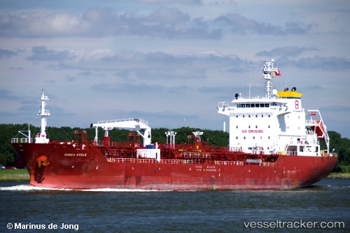
 Anika
Anika
Current Status
Where is the vessel?
Anika is currently in 111 nm W of Sebang, based on AIS data received about 2h ago.
Latest AIS update:
Current position: 6.23430° N, 93.46925° E (111 nm W of Sebang)
Average speed (last 7 days): Loading…
Average speed (last 30 days): Loading…
Vessel profile: Anika is a Chemical Oil Products Tanker with dimensions 128m x 20m.
This page combines live AIS, route history, probable destination signals, nearby traffic, and port activity for practical vessel monitoring.
The current position of vessel Anika is 6.23430 lat / 93.46925 lng. Updated: 2026-04-25 23:37:06 UTCNearest reference points:
- 80 nm W of Sebang
- 160 nm W of Sebang
- 172 nm W of LHOKNGA
Currently sailing under the flag of Thailand ![]()
Anika built in 2008 year
Deadweight:
13250 tDetails:
Live Vessel Anika Analytics (details, animations, etc.)
Recent AIS points (UTC):
2026-04-25 22:10:54 UTC · 6.22130, 93.17410 · SOG 12.1 kn · COG 84°2026-04-25 23:37:06 UTC · 6.23430, 93.46925 · SOG 12.3 kn · COG 83°
2026-04-25 23:37:06 UTC · 6.23430, 93.46925 · SOG 12.3 kn · COG 83°
2026-04-25 23:37:06 UTC · 6.23430, 93.46925 · SOG 12.3 kn · COG 83°