 MIAMI
MIAMI
Current Status
Where is the vessel?
MIAMI is currently in 44 nm N of Bear River City, based on AIS data received about 14h ago.
Latest AIS update:
Current position: 42.32091° N, 11.62863° W (44 nm N of Bear River City)
Average speed (last 7 days): Loading…
Average speed (last 30 days): Loading…
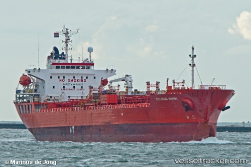
Vessel profile: MIAMI is a Oil/Chemical Tanker with dimensions m x m.
This page combines live AIS, route history, probable destination signals, nearby traffic, and port activity for practical vessel monitoring.
The current position of vessel MIAMI is 42.32091 lat / -11.62863 lng. Updated: 2026-06-27 07:08:32 UTCNearest reference points:
- 20 nm SE of Bear River City
- 25 nm S of Bear River City
- 40 nm NW of Sarinena
Currently sailing under the flag of Tuvalu ![]()
Details:
Live Vessel MIAMI Analytics (details, animations, etc.)
Recent AIS points (UTC):
2026-06-27 05:55:37 UTC · 42.12858, -11.77135 · SOG 10.8 kn · COG 30°2026-06-27 07:08:32 UTC · 42.32091, -11.62863 · SOG 10.7 kn · COG 34°
2026-06-27 07:08:32 UTC · 42.32091, -11.62863 · SOG 10.7 kn · COG 34°
2026-06-27 07:08:32 UTC · 42.32091, -11.62863 · SOG 10.7 kn · COG 34°