 LEVIN
LEVIN
Current Status
Where is the vessel?
LEVIN is currently in 56 nm E of MASIRAH, based on AIS data received about 14h ago.
Latest AIS update:
Current position: 20.91122° N, 59.83622° E (56 nm E of MASIRAH)
Average speed (last 7 days): Loading…
Average speed (last 30 days): Loading…
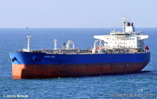
Vessel profile: LEVIN is a Crude Oil Tanker with dimensions m x m.
This page combines live AIS, route history, probable destination signals, nearby traffic, and port activity for practical vessel monitoring.
The current position of vessel LEVIN is 20.91122 lat / 59.83622 lng. Updated: 2026-05-20 07:57:35 UTCNearest reference points:
- 90 nm SE of SUR
- 23 nm NE of Qalhat
- 52 nm NE of SUR
Currently sailing under the flag of Cameroon ![]()
Details:
Live Vessel LEVIN Analytics (details, animations, etc.)
Recent AIS points (UTC):
2026-05-20 04:01:37 UTC · 20.25367, 59.44239 · SOG 11.2 kn · COG 29°2026-05-20 06:15:07 UTC · 20.62944, 59.66580 · SOG 10.9 kn · COG 28°
2026-05-20 07:47:47 UTC · 20.88549, 59.81936 · SOG 10.9 kn · COG 28°
2026-05-20 07:57:35 UTC · 20.91122, 59.83622 · SOG 11.2 kn · COG 28°