 MERT L
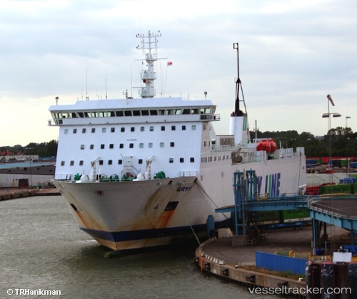
Current Status
Where is the vessel?
MERT L is currently in Near Poti, based on AIS data received about 14h ago.
Latest AIS update:
Current position: 42.15485° N, 41.65340° E (Near Poti)
Average speed (last 7 days): Loading…
Average speed (last 30 days): Loading…
Vessel profile: MERT L is a Ro-Ro/Passenger Ship with dimensions m x m.
This page combines live AIS, route history, probable destination signals, nearby traffic, and port activity for practical vessel monitoring.
The current position of vessel MERT L is 42.15485 lat / 41.65340 lng. Updated: 2026-05-27 20:15:53 UTCNearest reference points:
- Near Poti
- Near KULEVI
- Near Sup'sa
Currently sailing under the flag of Cameroon ![]()
Details:
Live Vessel MERT L Analytics (details, animations, etc.)
Recent AIS points (UTC):
2026-05-27 16:57:52 UTC · 42.15486, 41.65340 · SOG 0 kn · COG 272°2026-05-27 18:06:53 UTC · 42.15484, 41.65340 · SOG 0 kn · COG 272°
2026-05-27 19:12:52 UTC · 42.15486, 41.65342 · SOG 0 kn · COG 272°
2026-05-27 20:15:53 UTC · 42.15485, 41.65340 · SOG 0 kn · COG 271°