 KANARIA
Current Status
Where is the vessel?
KANARIA is currently in Near Tripoli, based on AIS data received about 14h ago.
Latest AIS update:
Current position: 34.46001° N, 35.82012° E (Near Tripoli)
Average speed (last 7 days): Loading…
Average speed (last 30 days): Loading…
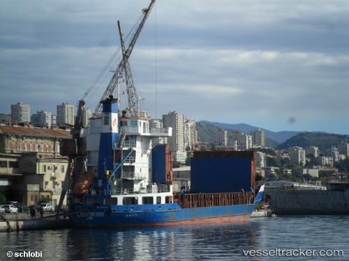
Vessel profile: KANARIA is a General Cargo with dimensions m x m.
This page combines live AIS, route history, probable destination signals, nearby traffic, and port activity for practical vessel monitoring.
The current position of vessel KANARIA is 34.46001 lat / 35.82012 lng. Updated: 2026-06-15 04:06:17 UTCNearest reference points:
- Near Tripoli
- Near Tartous
- Near Zouk
Currently sailing under the flag of Comoros ![]()
Details:
Live Vessel KANARIA Analytics (details, animations, etc.)
Recent AIS points (UTC):
2026-06-14 23:51:16 UTC · 34.46004, 35.82014 · SOG 0.1 kn · COG -1°2026-06-15 02:21:16 UTC · 34.46003, 35.82017 · SOG 0.1 kn · COG -1°
2026-06-15 02:30:17 UTC · 34.45999, 35.82012 · SOG 0.1 kn · COG -1°
2026-06-15 04:06:17 UTC · 34.46001, 35.82012 · SOG 0 kn · COG -1°