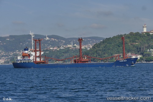
 AMIR BEY
Current Status
Where is the vessel?
AMIR BEY is currently in Near Tripoli, based on AIS data received about 14h ago.
Latest AIS update:
Current position: 34.46078° N, 35.83106° E (Near Tripoli)
Average speed (last 7 days): Loading…
Average speed (last 30 days): Loading…
Vessel profile: AMIR BEY is a General Cargo with dimensions m x m.
This page combines live AIS, route history, probable destination signals, nearby traffic, and port activity for practical vessel monitoring.
The current position of vessel AMIR BEY is 34.46078 lat / 35.83106 lng. Updated: 2026-05-29 12:14:32 UTCNearest reference points:
- Near Tripoli
- Near Tartous
- Near Zouk
Currently sailing under the flag of Comoros ![]()
Details:
Live Vessel AMIR BEY Analytics (details, animations, etc.)
Recent AIS points (UTC):
2026-05-29 07:35:32 UTC · 34.46075, 35.83102 · SOG 0 kn · COG 359°2026-05-29 09:23:30 UTC · 34.46076, 35.83107 · SOG 0 kn · COG 359°
2026-05-29 10:23:30 UTC · 34.46078, 35.83103 · SOG 0 kn · COG 359°
2026-05-29 12:14:32 UTC · 34.46078, 35.83106 · SOG 0.1 kn · COG 359°