 SEA WIND
Current Status
Where is the vessel?
SEA WIND is currently in 17 nm N of Port Said, based on AIS data received about 15h ago.
Latest AIS update:
Current position: 31.54032° N, 32.25642° E (17 nm N of Port Said)
Average speed (last 7 days): Loading…
Average speed (last 30 days): Loading…
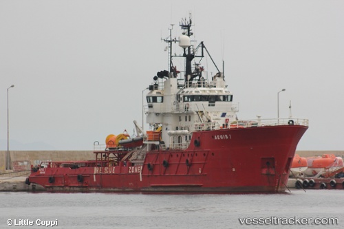
Vessel profile: SEA WIND is a Multi Purpose Offshore Vessel with dimensions m x m.
This page combines live AIS, route history, probable destination signals, nearby traffic, and port activity for practical vessel monitoring.
The current position of vessel SEA WIND is 31.54032 lat / 32.25642 lng. Updated: 2026-07-26 11:22:15 UTCNearest reference points:
- 15 nm N of Port Said
- 16 nm N of Port Said
- 14 nm N of Port Said
Currently sailing under the flag of Comoros ![]()
Details:
Live Vessel SEA WIND Analytics (details, animations, etc.)
Recent AIS points (UTC):
2026-07-26 07:17:23 UTC · 31.58088, 32.26646 · SOG 0 kn · COG 253°2026-07-26 10:01:56 UTC · 31.58089, 32.26637 · SOG 0 kn · COG 44°
2026-07-26 10:06:38 UTC · 31.58085, 32.26634 · SOG 0.1 kn · COG 151°
2026-07-26 11:22:15 UTC · 31.54032, 32.25642 · SOG 5.9 kn · COG -1°