 vesseltracker.com
 MAKALU
Current Status
Where is the vessel?
MAKALU is currently in Near Ras Sudr, based on AIS data received about 82d ago.
Latest AIS update:
Current position: 29.70367° N, 32.60814° E (Near Ras Sudr)
Average speed (last 7 days): Loading…
Average speed (last 30 days): Loading…
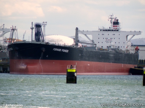
Vessel profile: MAKALU is a Crude Oil Tanker with dimensions 247m x 42m.
This page combines live AIS, route history, probable destination signals, nearby traffic, and port activity for practical vessel monitoring.
The current position of vessel MAKALU is 29.70367 lat / 32.60814 lng. Updated: 2026-02-20 22:52:45 UTCNearest reference points:
- Near Ras Sudr
- Near Al Adabiyah
- Near Bur Ibrahim
Currently sailing under the flag of Gambia ![]()
MAKALU built in 2005 year
Deadweight:
107081 tDetails:
Live Vessel MAKALU Analytics (details, animations, etc.)
Recent AIS points (UTC):
2026-02-20 22:52:45 UTC · 29.70367, 32.60814 · SOG 0.3 kn · COG 346°