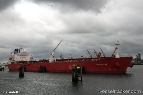
Nave Cetus
Current StatusWhere is the vessel?
Nave Cetus is currently in Near Coatzacoalcos, based on AIS data received about 14h ago.
Latest AIS update:
Current position: 18.12394° N, 94.40405° W (Near Coatzacoalcos)
Average speed (last 7 days): Loading…
Average speed (last 30 days): Loading…
Vessel profile: Nave Cetus is a Crude Oil Tanker with dimensions 32m x 228m.
This page combines live AIS, route history, probable destination signals, nearby traffic, and port activity for practical vessel monitoring.
The current position of vessel Nave Cetus is 18.12394 lat / -94.40405 lng. Updated: 2026-05-20 03:57:47 UTCNearest reference points:
- Near Coatzacoalcos
- Near Veracruz
- 35 nm S of Yùum K'Ak'Náab
Details:
Live Vessel Nave Cetus Analytics (details, animations, etc.)
Recent AIS points (UTC):
2026-05-20 00:15:14 UTC · 18.12401, -94.40386 · SOG 0 kn · COG -1°2026-05-20 01:23:00 UTC · 18.12392, -94.40404 · SOG 0 kn · COG -1°
2026-05-20 01:37:51 UTC · 18.12398, -94.40399 · SOG 0.1 kn · COG -1°
2026-05-20 03:57:47 UTC · 18.12394, -94.40405 · SOG 0 kn · COG -1°