 vesseltracker.com
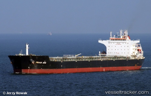
 Peace Ark
Current Status
Where is the vessel?
Peace Ark is currently in 174 nm S of Saint-Joseph, based on AIS data received about 1h ago.
Latest AIS update:
Current position: 24.18932° S, 54.91690° E (174 nm S of Saint-Joseph)
Average speed (last 7 days): Loading…
Average speed (last 30 days): Loading…
Vessel profile: Peace Ark is a Bulk Carrier with dimensions 229m x 38m.
This page combines live AIS, route history, probable destination signals, nearby traffic, and port activity for practical vessel monitoring.
The current position of vessel Peace Ark is -24.18932 lat / 54.91690 lng. Updated: 2026-04-18 12:18:06 UTCNearest reference points:
- 129 nm W of Al Azaiba
Currently sailing under the flag of Liberia ![]()
Peace Ark built in 2010 year
Deadweight:
93249 tDetails:
Live Vessel Peace Ark Analytics (details, animations, etc.)
Recent AIS points (UTC):
2026-04-18 05:33:42 UTC · -23.90232, 56.40643 · SOG 12.2 kn · COG 256°2026-04-18 08:21:10 UTC · -24.03553, 55.79238 · SOG 12.5 kn · COG 261°
2026-04-18 09:56:23 UTC · -24.09003, 55.44192 · SOG 12.3 kn · COG 258°
2026-04-18 12:18:06 UTC · -24.18932, 54.91690 · SOG 12.6 kn · COG 255°