Amalea
Current StatusWhere is the vessel?
Amalea is currently in 271 nm SW of Cap Skiring, based on AIS data received about 17h ago.
Latest AIS update:
Current position: 10.25641° N, 20.80168° W (271 nm SW of Cap Skiring)
Average speed (last 7 days): Loading…
Average speed (last 30 days): Loading…
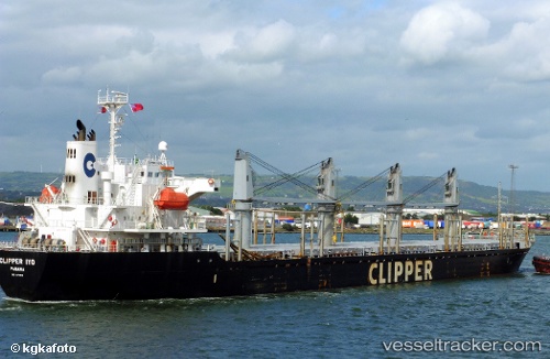
Vessel profile: Amalea is a Bulk Carrier with dimensions 27m x 169m.
This page combines live AIS, route history, probable destination signals, nearby traffic, and port activity for practical vessel monitoring.
The current position of vessel Amalea is 10.25641 lat / -20.80168 lng. Updated: 2026-07-09 07:51:20 UTCNearest reference points:
- Open sea, approx. 405 nm off the nearest listed port
- Open sea, approx. 403 nm off the nearest listed port
- Open sea, approx. 401 nm off the nearest listed port
Details:
Live Vessel Amalea Analytics (details, animations, etc.)
Recent AIS points (UTC):
2026-07-02 20:21:05 UTC · -12.99706, -34.52778 · SOG 9.8 kn · COG -1°2026-07-02 20:21:05 UTC · -12.99706, -34.52778 · SOG 9.8 kn · COG -1°
2026-07-08 16:06:13 UTC · 7.70709, -22.31555 · SOG 11.3 kn · COG -1°
2026-07-09 07:51:20 UTC · 10.25641, -20.80168 · SOG 11 kn · COG -1°