 Andros Navigator
Current Status
Where is the vessel?
Andros Navigator is currently in Near Sebang, based on AIS data received about 15h ago.
Latest AIS update:
Current position: 5.99838° N, 95.33113° E (Near Sebang)
Average speed (last 7 days): Loading…
Average speed (last 30 days): Loading…
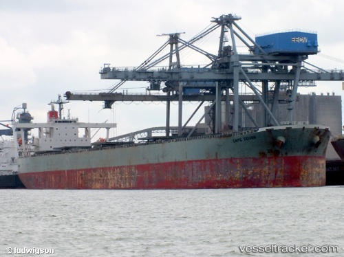
Vessel profile: Andros Navigator is a Bulk Carrier with dimensions 290m x 48m.
This page combines live AIS, route history, probable destination signals, nearby traffic, and port activity for practical vessel monitoring.
The current position of vessel Andros Navigator is 5.99838 lat / 95.33113 lng. Updated: 2026-07-16 08:08:19 UTCNearest reference points:
- 21 nm N of Sebang
- 28 nm NW of Sebang
- 48 nm NW of Sebang
Currently sailing under the flag of Liberia ![]()
Andros Navigator built in 2006 year
Deadweight:
185805 tDetails:
Live Vessel Andros Navigator Analytics (details, animations, etc.)
Recent AIS points (UTC):
2026-07-16 05:04:49 UTC · 5.92063, 94.87425 · SOG 8.8 kn · COG 73°2026-07-16 05:45:29 UTC · 5.93945, 94.97200 · SOG 8.7 kn · COG 81°
2026-07-16 07:48:44 UTC · 5.99392, 95.28544 · SOG 8.2 kn · COG 89°
2026-07-16 08:08:19 UTC · 5.99838, 95.33113 · SOG 8.4 kn · COG 90°