 vesseltracker.com
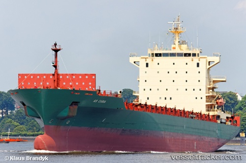
 Harmony N
Current Status
Where is the vessel?
Harmony N is currently in Near Murano, based on AIS data received less than 1h ago.
Latest AIS update:
Current position: 45.35500° N, 12.48333° E (Near Murano)
Average speed (last 7 days): Loading…
Average speed (last 30 days): Loading…
Vessel profile: Harmony N is a Container Ship with dimensions 222m x 30m.
This page combines live AIS, route history, probable destination signals, nearby traffic, and port activity for practical vessel monitoring.
The current position of vessel Harmony N is 45.35500 lat / 12.48333 lng. Updated: 2026-04-17 12:23:48 UTCNearest reference points:
- Near Murano
- Near Venezia
- Near Chioggia
Currently sailing under the flag of Liberia ![]()
Harmony N built in 2006 year
Deadweight:
39420 tDetails:
Live Vessel Harmony N Analytics (details, animations, etc.)
Recent AIS points (UTC):
2026-04-17 05:32:10 UTC · 45.35437, 12.48187 · SOG 0 kn · COG 3°2026-04-17 08:26:22 UTC · 45.35446, 12.48134 · SOG 0 kn · COG 21°
2026-04-17 10:12:43 UTC · 45.35450, 12.48234 · SOG 0 kn · COG 4°
2026-04-17 12:23:48 UTC · 45.35500, 12.48333 · SOG 0 kn · COG -1°