 AKITETA
Current Status
Where is the vessel?
AKITETA is currently in 38 nm SE of Oluvil, based on AIS data received about 15h ago.
Latest AIS update:
Current position: 6.74462° N, 82.18924° E (38 nm SE of Oluvil)
Average speed (last 7 days): Loading…
Average speed (last 30 days): Loading…
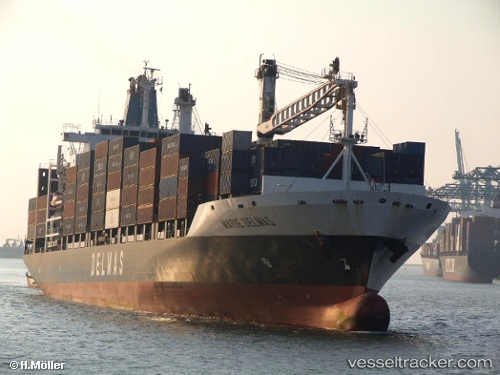
Vessel profile: AKITETA is a Container Ship with dimensions 30m x 195m.
This page combines live AIS, route history, probable destination signals, nearby traffic, and port activity for practical vessel monitoring.
The current position of vessel AKITETA is 6.74462 lat / 82.18924 lng. Updated: 2026-06-25 19:37:20 UTCNearest reference points:
- 42 nm E of Konwelana
- 40 nm E of Konwelana
- 79 nm E of Konwelana
Currently sailing under the flag of Liberia ![]()
AKITETA built in 2001 year
Deadweight:
30592 tDetails:
Live Vessel AKITETA Analytics (details, animations, etc.)
Recent AIS points (UTC):
2026-06-25 16:24:47 UTC · 5.94965, 81.78755 · SOG 16.8 kn · COG 25°2026-06-25 18:31:28 UTC · 6.47187, 82.07692 · SOG 16 kn · COG 13°
2026-06-25 19:07:14 UTC · 6.62184, 82.13454 · SOG 16 kn · COG 22°
2026-06-25 19:37:20 UTC · 6.74462, 82.18924 · SOG 15.8 kn · COG 21°