 HADAR
HADAR
Current Status
Where is the vessel?
HADAR is currently in 21 nm W of Megálon Livádion, based on AIS data received about 15h ago.
Latest AIS update:
Current position: 37.13266° N, 23.96882° E (21 nm W of Megálon Livádion)
Average speed (last 7 days): Loading…
Average speed (last 30 days): Loading…
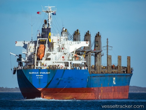
Vessel profile: HADAR is a Bulk Carrier with dimensions 169m x 27m.
This page combines live AIS, route history, probable destination signals, nearby traffic, and port activity for practical vessel monitoring.
The current position of vessel HADAR is 37.13266 lat / 23.96882 lng. Updated: 2026-07-15 16:02:34 UTCNearest reference points:
- 17 nm W of Milos (Adamas)
- Near Methana
- Near Kéa (Tzia)
Currently sailing under the flag of Liberia ![]()
HADAR built in 2012 year
Deadweight:
28236 tDetails:
Live Vessel HADAR Analytics (details, animations, etc.)
Recent AIS points (UTC):
2026-07-15 13:51:24 UTC · 37.49960, 23.78581 · SOG 11.1 kn · COG 159°2026-07-15 14:07:14 UTC · 37.45327, 23.80623 · SOG 11.2 kn · COG 157°
2026-07-15 15:26:34 UTC · 37.23164, 23.91827 · SOG 10.5 kn · COG 152°
2026-07-15 16:02:34 UTC · 37.13266, 23.96882 · SOG 11.4 kn · COG 155°