 vesseltracker.com
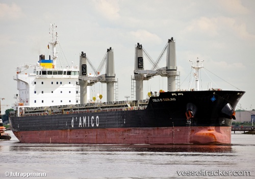
 BLUE ONE
Current Status
Where is the vessel?
BLUE ONE is currently in Near La Coruna , based on AIS data received less than 1h ago.
Latest AIS update:
Current position: 43.35915° N, 8.39204° W (Near La Coruna )
Average speed (last 7 days): Loading…
Average speed (last 30 days): Loading…
Vessel profile: BLUE ONE is a Bulk Carrier with dimensions 182m x 28m.
This page combines live AIS, route history, probable destination signals, nearby traffic, and port activity for practical vessel monitoring.
The current position of vessel BLUE ONE is 43.35915 lat / -8.39204 lng. Updated: 2026-05-13 10:20:02 UTCNearest reference points:
- Near La Coruna
- Near PUNTA LANGOSTEIRA
- Near Ferrol
Currently sailing under the flag of Liberia ![]()
BLUE ONE built in 2011 year
Deadweight:
37064 tDetails:
Live Vessel BLUE ONE Analytics (details, animations, etc.)
Recent AIS points (UTC):
2026-05-13 03:31:52 UTC · 43.35913, -8.39205 · SOG 0.1 kn · COG 310°2026-05-13 04:01:52 UTC · 43.35917, -8.39211 · SOG 0 kn · COG 310°
2026-05-13 06:10:52 UTC · 43.35912, -8.39204 · SOG 0 kn · COG 310°
2026-05-13 10:20:02 UTC · 43.35915, -8.39204 · SOG 0 kn · COG 311°