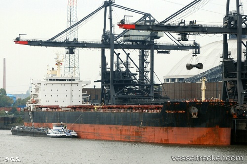
 FARMER
Current Status
Where is the vessel?
FARMER is currently in 47 nm NE of Bulwer, based on AIS data received about 14h ago.
Latest AIS update:
Current position: 26.62167° S, 154.08167° E (47 nm NE of Bulwer)
Average speed (last 7 days): Loading…
Average speed (last 30 days): Loading…
Vessel profile: FARMER is a Bulk Carrier with dimensions 32m x 229m.
This page combines live AIS, route history, probable destination signals, nearby traffic, and port activity for practical vessel monitoring.
The current position of vessel FARMER is -26.62167 lat / 154.08167 lng. Updated: 2026-06-19 05:32:21 UTCNearest reference points:
- Near Bulwer
- Near MOOLOOLABA
- Near Minyama
Currently sailing under the flag of Liberia ![]()
FARMER built in 2012 year
Deadweight:
81541 tDetails:
Live Vessel FARMER Analytics (details, animations, etc.)
Recent AIS points (UTC):
2026-06-19 02:04:24 UTC · -25.87677, 154.08295 · SOG 13.7 kn · COG 184°2026-06-19 04:14:21 UTC · -26.35167, 154.06667 · SOG 12 kn · COG -1°
2026-06-19 05:00:28 UTC · -26.51281, 154.08025 · SOG 12.4 kn · COG 183°
2026-06-19 05:32:21 UTC · -26.62167, 154.08167 · SOG 12 kn · COG -1°