 vesseltracker.com
 PAGODA
Current Status
Where is the vessel?
PAGODA is currently in 17 nm SW of Haspe, based on AIS data received about 4d ago.
Latest AIS update:
Current position: 54.20000° N, 7.00688° E (17 nm SW of Haspe)
Average speed (last 7 days): Loading…
Average speed (last 30 days): Loading…
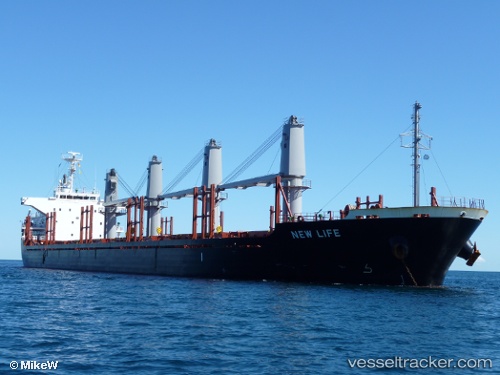
Vessel profile: PAGODA is a Bulk Carrier with dimensions 27m x 169m.
This page combines live AIS, route history, probable destination signals, nearby traffic, and port activity for practical vessel monitoring.
The current position of vessel PAGODA is 54.20000 lat / 7.00688 lng. Updated: 2026-04-23 21:08:01 UTCNearest reference points:
- Near NORDERNEY
- Near NORDDEICH
- Near Borkum
Currently sailing under the flag of Liberia ![]()
PAGODA built in 2013 year
Deadweight:
28227 tDetails:
Live Vessel PAGODA Analytics (details, animations, etc.)
Recent AIS points (UTC):
2026-04-23 21:08:01 UTC · 54.20000, 7.00688 · SOG 18 kn · COG 268°2026-04-23 21:08:01 UTC · 54.20000, 7.00688 · SOG 18 kn · COG 268°
2026-04-23 21:08:01 UTC · 54.20000, 7.00688 · SOG 18 kn · COG 268°
2026-04-23 21:08:01 UTC · 54.20000, 7.00688 · SOG 18 kn · COG 268°
2026-04-23 21:08:01 UTC · 54.20000, 7.00688 · SOG 18 kn · COG 268°