 vesseltracker.com
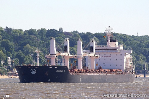
 KALLIOPI S
Current Status
Where is the vessel?
KALLIOPI S is currently in 11 nm SW of Milobadz, based on AIS data received less than 1h ago.
Latest AIS update:
Current position: 54.99286° N, 18.57897° E (11 nm SW of Milobadz)
Average speed (last 7 days): Loading…
Average speed (last 30 days): Loading…
Vessel profile: KALLIOPI S is a Bulk Carrier with dimensions 180m x 30m.
This page combines live AIS, route history, probable destination signals, nearby traffic, and port activity for practical vessel monitoring.
The current position of vessel KALLIOPI S is 54.99286 lat / 18.57897 lng. Updated: 2026-05-15 13:29:45 UTCNearest reference points:
- Near WLADYSLAWOWO
- Near Gdynia
- Near Sopot
Currently sailing under the flag of Liberia ![]()
KALLIOPI S built in 2012 year
Deadweight:
34417 tDetails:
Live Vessel KALLIOPI S Analytics (details, animations, etc.)
Recent AIS points (UTC):
2026-05-15 10:16:15 UTC · 54.88557, 18.84529 · SOG 4.7 kn · COG 311°2026-05-15 11:44:04 UTC · 54.94550, 18.65954 · SOG 5 kn · COG 308°
2026-05-15 13:09:14 UTC · 55.01147, 18.54715 · SOG 3.8 kn · COG 143°
2026-05-15 13:29:45 UTC · 54.99286, 18.57897 · SOG 4.8 kn · COG 132°