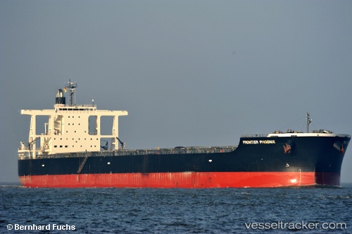
 CAPE PHOENIX
Current Status
Where is the vessel?
CAPE PHOENIX is currently in 366 nm SE of Santa Rita, based on AIS data received about 14h ago.
Latest AIS update:
Current position: 9.81294° N, 139.62444° W (366 nm SE of Santa Rita)
Average speed (last 7 days): Loading…
Average speed (last 30 days): Loading…
Vessel profile: CAPE PHOENIX is a Bulk Carrier with dimensions 292m x 292m.
This page combines live AIS, route history, probable destination signals, nearby traffic, and port activity for practical vessel monitoring.
The current position of vessel CAPE PHOENIX is 9.81294 lat / -139.62444 lng. Updated: 2026-07-04 17:39:37 UTCNearest reference points:
- Open sea, approx. 400 nm off the nearest listed port
- Open sea, approx. 401 nm off the nearest listed port
- Open sea, approx. 406 nm off the nearest listed port
Currently sailing under the flag of Liberia ![]()
CAPE PHOENIX built in 2011 year
Deadweight:
181356 tDetails:
Live Vessel CAPE PHOENIX Analytics (details, animations, etc.)
Recent AIS points (UTC):
2026-07-04 13:48:41 UTC · 9.61970, -139.06474 · SOG 9.1 kn · COG 289°2026-07-04 15:21:01 UTC · 9.69693, -139.28851 · SOG 9.2 kn · COG 287°
2026-07-04 16:22:59 UTC · 9.74528, -139.44069 · SOG 9.1 kn · COG 289°
2026-07-04 17:39:37 UTC · 9.81294, -139.62444 · SOG 9.1 kn · COG 290°