 vesseltracker.com
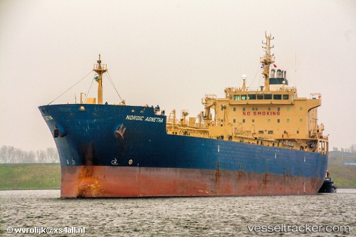
 CAPE CAMDEN
Current Status
Where is the vessel?
CAPE CAMDEN is currently in 37 nm NE of Neeltje Jans, based on AIS data received about 1h ago.
Latest AIS update:
Current position: 53.92333° N, 4.61500° E (37 nm NE of Neeltje Jans)
Average speed (last 7 days): Loading…
Average speed (last 30 days): Loading…
Vessel profile: CAPE CAMDEN is a Chemical/Oil Products Tanker with dimensions 184m x 27m.
This page combines live AIS, route history, probable destination signals, nearby traffic, and port activity for practical vessel monitoring.
The current position of vessel CAPE CAMDEN is 53.92333 lat / 4.61500 lng. Updated: 2026-05-16 12:19:07 UTCNearest reference points:
- Near Molengat
- Near Neeltje Jans
- Near de Waal
Currently sailing under the flag of Liberia ![]()
CAPE CAMDEN built in 2009 year
Deadweight:
37791 tDetails:
Live Vessel CAPE CAMDEN Analytics (details, animations, etc.)
Recent AIS points (UTC):
2026-05-16 07:27:55 UTC · 53.35167, 3.63833 · SOG 9 kn · COG -1°2026-05-16 09:24:55 UTC · 53.60167, 3.97833 · SOG 10 kn · COG -1°
2026-05-16 09:51:55 UTC · 53.64500, 4.08833 · SOG 10 kn · COG -1°
2026-05-16 12:19:07 UTC · 53.92333, 4.61500 · SOG 10 kn · COG -1°