 OKRA 1
Current Status
Where is the vessel?
OKRA 1 is currently in 19 nm SW of Porto Empedocle, based on AIS data received about 128d ago.
Latest AIS update:
Current position: 37.09022° N, 13.21517° E (19 nm SW of Porto Empedocle)
Average speed (last 7 days): Loading…
Average speed (last 30 days): Loading…
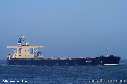
Vessel profile: OKRA 1 is a Bulk Carrier with dimensions 289m x 45m.
This page combines live AIS, route history, probable destination signals, nearby traffic, and port activity for practical vessel monitoring.
The current position of vessel OKRA 1 is 37.09022 lat / 13.21517 lng. Updated: 2026-02-24 03:47:43 UTCNearest reference points:
- Near Licata
- Near Gela
- Near Balestrate
Currently sailing under the flag of Liberia ![]()
OKRA 1 built in 1999 year
Deadweight:
171199 tDetails:
Live Vessel OKRA 1 Analytics (details, animations, etc.)
Recent AIS points (UTC):
2026-02-24 03:47:43 UTC · 37.09022, 13.21517 · SOG 45.8 kn · COG 304°