 vesseltracker.com
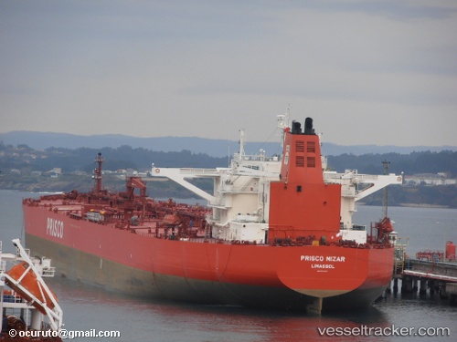
 KINYRAS
Current Status
Where is the vessel?
KINYRAS is currently in 76 nm SE of Saint-Philippe, based on AIS data received about 1h ago.
Latest AIS update:
Current position: 21.86305° S, 57.01181° E (76 nm SE of Saint-Philippe)
Average speed (last 7 days): Loading…
Average speed (last 30 days): Loading…
Vessel profile: KINYRAS is a Crude Oil Tanker with dimensions 51m x 285m.
This page combines live AIS, route history, probable destination signals, nearby traffic, and port activity for practical vessel monitoring.
The current position of vessel KINYRAS is -21.86305 lat / 57.01181 lng. Updated: 2026-04-22 17:30:33 UTCNearest reference points:
- 61 nm NW of Al Azaiba
- Near Port Louis
- 129 nm W of Al Azaiba
Currently sailing under the flag of Liberia ![]()
KINYRAS built in 2007 year
Deadweight:
166468 tDetails:
Live Vessel KINYRAS Analytics (details, animations, etc.)
Recent AIS points (UTC):
2026-04-22 13:41:51 UTC · -22.26751, 56.39712 · SOG 11.1 kn · COG 55°2026-04-22 16:06:54 UTC · -22.00697, 56.78477 · SOG 10.9 kn · COG 55°
2026-04-22 17:01:03 UTC · -21.91823, 56.93469 · SOG 11 kn · COG 57°
2026-04-22 17:30:33 UTC · -21.86305, 57.01181 · SOG 11 kn · COG 53°