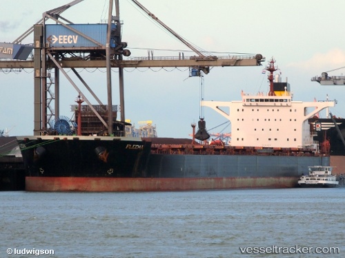
 CAPE LAYLA
Current Status
Where is the vessel?
CAPE LAYLA is currently in 63 nm SW of Lakshadweep, based on AIS data received about 14h ago.
Latest AIS update:
Current position: 9.58500° N, 72.02667° E (63 nm SW of Lakshadweep)
Average speed (last 7 days): Loading…
Average speed (last 30 days): Loading…
Vessel profile: CAPE LAYLA is a Bulk Carrier with dimensions m x m.
This page combines live AIS, route history, probable destination signals, nearby traffic, and port activity for practical vessel monitoring.
The current position of vessel CAPE LAYLA is 9.58500 lat / 72.02667 lng. Updated: 2026-05-21 03:31:21 UTCNearest reference points:
- 13 nm NW of Lakshadweep
- 45 nm SW of Kalpeni Island
- 130 nm W of Lakshadweep
Currently sailing under the flag of Liberia ![]()
Details:
Live Vessel CAPE LAYLA Analytics (details, animations, etc.)
Recent AIS points (UTC):
2026-05-20 23:22:24 UTC · 9.20833, 72.78500 · SOG 12 kn · COG -1°2026-05-21 02:07:25 UTC · 9.52833, 72.32000 · SOG 11 kn · COG -1°
2026-05-21 02:34:20 UTC · 9.54833, 72.22667 · SOG 12 kn · COG -1°
2026-05-21 03:31:21 UTC · 9.58500, 72.02667 · SOG 12 kn · COG -1°