 vesseltracker.com
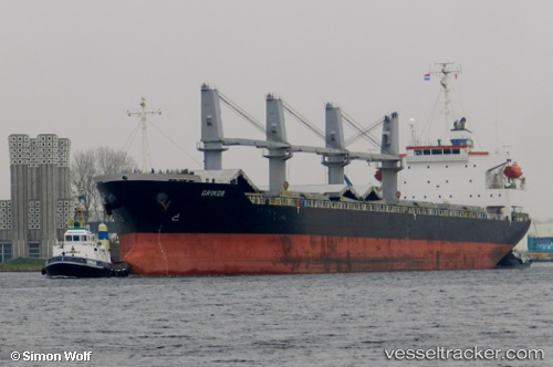
 PARALOS
Current Status
Where is the vessel?
PARALOS is currently in 13 nm N of HANSTHOLM, based on AIS data received less than 1h ago.
Latest AIS update:
Current position: 57.34201° N, 8.51367° E (13 nm N of HANSTHOLM)
Average speed (last 7 days): Loading…
Average speed (last 30 days): Loading…
Vessel profile: PARALOS is a Bulk Carrier with dimensions m x m.
This page combines live AIS, route history, probable destination signals, nearby traffic, and port activity for practical vessel monitoring.
The current position of vessel PARALOS is 57.34201 lat / 8.51367 lng. Updated: 2026-05-15 01:15:53 UTCNearest reference points:
- Near HANSTHOLM
- 27 nm N of HANSTHOLM
- Near Thyborøn
Currently sailing under the flag of Liberia ![]()
Details:
Live Vessel PARALOS Analytics (details, animations, etc.)
Recent AIS points (UTC):
2026-05-14 22:01:02 UTC · 56.85939, 7.84105 · SOG 11.3 kn · COG 33°2026-05-14 22:37:23 UTC · 56.94409, 7.97436 · SOG 11.5 kn · COG 41°
2026-05-14 23:58:53 UTC · 57.14319, 8.28380 · SOG 11.1 kn · COG 1°
2026-05-15 01:15:53 UTC · 57.34201, 8.51367 · SOG 12.6 kn · COG 49°