 ANDAMA
Current Status
Where is the vessel?
ANDAMA is currently in 135 nm SE of Lü-hua Shan, based on AIS data received about 15h ago.
Latest AIS update:
Current position: 29.82167° N, 124.95500° E (135 nm SE of Lü-hua Shan)
Average speed (last 7 days): Loading…
Average speed (last 30 days): Loading…
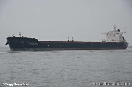
Vessel profile: ANDAMA is a Bulk Carrier with dimensions m x m.
This page combines live AIS, route history, probable destination signals, nearby traffic, and port activity for practical vessel monitoring.
The current position of vessel ANDAMA is 29.82167 lat / 124.95500 lng. Updated: 2026-05-21 01:05:31 UTCNearest reference points:
- 165 nm SE of Lü-hua Shan
- 129 nm SE of ZHOUSHAN
- 160 nm E of Lü-hua Shan
Currently sailing under the flag of Liberia ![]()
Details:
Live Vessel ANDAMA Analytics (details, animations, etc.)
Recent AIS points (UTC):
2026-05-20 22:53:29 UTC · 29.84323, 124.37939 · SOG 14 kn · COG 89°2026-05-21 00:23:32 UTC · 29.82833, 124.77500 · SOG 13 kn · COG -1°
2026-05-21 01:05:31 UTC · 29.82167, 124.95500 · SOG 13 kn · COG -1°
2026-05-21 01:05:31 UTC · 29.82167, 124.95500 · SOG 13 kn · COG -1°