 URSUS ARCTOS
Current Status
Where is the vessel?
URSUS ARCTOS is currently in Near TUZLA, based on AIS data received about 15h ago.
Latest AIS update:
Current position: 40.83917° N, 29.28092° E (Near TUZLA)
Average speed (last 7 days): Loading…
Average speed (last 30 days): Loading…
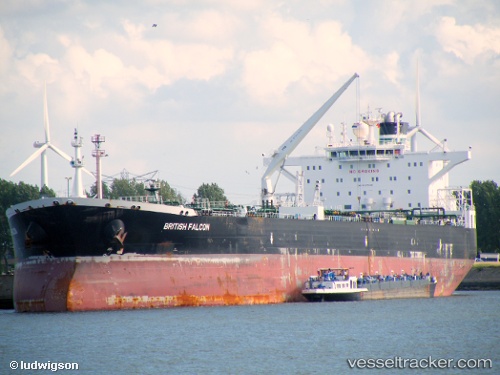
Vessel profile: URSUS ARCTOS is a Crude Oil Tanker with dimensions 44m x 251m.
This page combines live AIS, route history, probable destination signals, nearby traffic, and port activity for practical vessel monitoring.
The current position of vessel URSUS ARCTOS is 40.83917 lat / 29.28092 lng. Updated: 2026-05-19 23:40:33 UTCNearest reference points:
- Near TUZLA
- Near Tuzla Free Zone
- Near PENDIK
Currently sailing under the flag of Liberia ![]()
URSUS ARCTOS built in 0 year
Deadweight:
0 tDetails:
Live Vessel URSUS ARCTOS Analytics (details, animations, etc.)
Recent AIS points (UTC):
2026-05-19 20:07:48 UTC · 40.83911, 29.28095 · SOG 0 kn · COG -1°2026-05-19 21:58:34 UTC · 40.83900, 29.28093 · SOG 0 kn · COG 308°
2026-05-19 22:31:35 UTC · 40.83913, 29.28082 · SOG 0 kn · COG 308°
2026-05-19 23:40:33 UTC · 40.83917, 29.28092 · SOG 0 kn · COG 308°