 LC MILADY
Current Status
Where is the vessel?
LC MILADY is currently in 147 nm SW of Gan, based on AIS data received about 14h ago.
Latest AIS update:
Current position: 2.89873° S, 72.06855° E (147 nm SW of Gan)
Average speed (last 7 days): Loading…
Average speed (last 30 days): Loading…
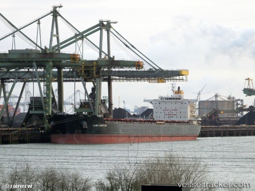
Vessel profile: LC MILADY is a Bulk Carrier with dimensions m x m.
This page combines live AIS, route history, probable destination signals, nearby traffic, and port activity for practical vessel monitoring.
The current position of vessel LC MILADY is -2.89873 lat / 72.06855 lng. Updated: 2026-06-06 16:14:18 UTCNearest reference points:
- 222 nm SW of Gan
- 195 nm SE of Gan
Currently sailing under the flag of Liberia ![]()
Details:
Live Vessel LC MILADY Analytics (details, animations, etc.)
Recent AIS points (UTC):
2026-06-06 11:30:05 UTC · -3.21318, 71.26518 · SOG 11 kn · COG 68°2026-06-06 13:59:22 UTC · -3.04737, 71.68888 · SOG 10.7 kn · COG 67°
2026-06-06 14:09:49 UTC · -3.03607, 71.71797 · SOG 10.7 kn · COG 66°
2026-06-06 16:14:18 UTC · -2.89873, 72.06855 · SOG 11 kn · COG 66°