 NAVIGATOR LUNA
Current Status
Where is the vessel?
NAVIGATOR LUNA is currently in 81 nm SE of Crevedia, based on AIS data received about 14h ago.
Latest AIS update:
Current position: 43.56667° N, 24.72500° W (81 nm SE of Crevedia)
Average speed (last 7 days): Loading…
Average speed (last 30 days): Loading…
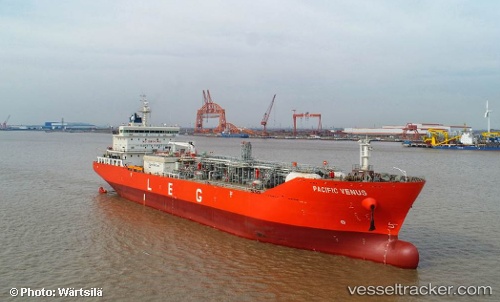
Vessel profile: NAVIGATOR LUNA is a Tanker with dimensions m x m.
This page combines live AIS, route history, probable destination signals, nearby traffic, and port activity for practical vessel monitoring.
The current position of vessel NAVIGATOR LUNA is 43.56667 lat / -24.72500 lng. Updated: 2026-06-25 05:56:44 UTCCurrently sailing under the flag of Liberia ![]()
Details:
Live Vessel NAVIGATOR LUNA Analytics (details, animations, etc.)
Recent AIS points (UTC):
2026-06-25 02:35:46 UTC · 43.15833, -25.59667 · SOG 13 kn · COG -1°2026-06-25 04:08:46 UTC · 43.35167, -25.19667 · SOG 13 kn · COG -1°
2026-06-25 05:11:46 UTC · 43.47667, -24.91500 · SOG 13 kn · COG -1°
2026-06-25 05:56:44 UTC · 43.56667, -24.72500 · SOG 13 kn · COG -1°