 MSC MAGNITUDE VII
Current Status
Where is the vessel?
MSC MAGNITUDE VII is currently in Near TANAH MERAH, based on AIS data received about 15h ago.
Latest AIS update:
Current position: 1.30608° N, 104.05500° E (Near TANAH MERAH)
Average speed (last 7 days): Loading…
Average speed (last 30 days): Loading…
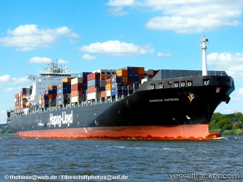
Vessel profile: MSC MAGNITUDE VII is a Container Ship with dimensions m x m.
This page combines live AIS, route history, probable destination signals, nearby traffic, and port activity for practical vessel monitoring.
The current position of vessel MSC MAGNITUDE VII is 1.30608 lat / 104.05500 lng. Updated: 2026-06-06 14:00:54 UTCNearest reference points:
- Near TANAH MERAH
- Near Tanjung Setapa
- Near Changi
Currently sailing under the flag of Liberia ![]()
Details:
Live Vessel MSC MAGNITUDE VII Analytics (details, animations, etc.)
Recent AIS points (UTC):
2026-06-06 10:12:55 UTC · 1.30642, 104.05507 · SOG 0 kn · COG 104°2026-06-06 12:07:08 UTC · 1.30552, 104.05495 · SOG 0 kn · COG -1°
2026-06-06 13:17:14 UTC · 1.30620, 104.05503 · SOG 0 kn · COG -1°
2026-06-06 14:00:54 UTC · 1.30608, 104.05500 · SOG 0 kn · COG 98°