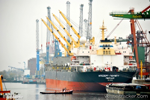
 MY DREAM
Current Status
Where is the vessel?
MY DREAM is currently in 31 nm SE of Kilifi, based on AIS data received about 15h ago.
Latest AIS update:
Current position: 3.87441° S, 40.30023° E (31 nm SE of Kilifi)
Average speed (last 7 days): Loading…
Average speed (last 30 days): Loading…
Vessel profile: MY DREAM is a Bulk Carrier with dimensions m x m.
This page combines live AIS, route history, probable destination signals, nearby traffic, and port activity for practical vessel monitoring.
The current position of vessel MY DREAM is -3.87441 lat / 40.30023 lng. Updated: 2026-05-21 03:56:11 UTCNearest reference points:
- 11 nm SE of Mombasa
- Near Mombasa
Currently sailing under the flag of Liberia ![]()
Details:
Live Vessel MY DREAM Analytics (details, animations, etc.)
Recent AIS points (UTC):
2026-05-21 01:21:35 UTC · -3.98833, 40.29667 · SOG 2 kn · COG -1°2026-05-21 01:42:34 UTC · -3.97167, 40.29500 · SOG 2 kn · COG -1°
2026-05-21 03:56:11 UTC · -3.87441, 40.30023 · SOG 2.7 kn · COG 251°
2026-05-21 03:56:11 UTC · -3.87441, 40.30023 · SOG 2.7 kn · COG 251°