 PHILIPPAKOS
Current Status
Where is the vessel?
PHILIPPAKOS is currently in Near Daniel Island, based on AIS data received about 14h ago.
Latest AIS update:
Current position: 32.90922° N, 79.94313° W (Near Daniel Island)
Average speed (last 7 days): Loading…
Average speed (last 30 days): Loading…
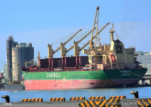
Vessel profile: PHILIPPAKOS is a Bulk Carrier with dimensions m x m.
This page combines live AIS, route history, probable destination signals, nearby traffic, and port activity for practical vessel monitoring.
The current position of vessel PHILIPPAKOS is 32.90922 lat / -79.94313 lng. Updated: 2026-05-20 19:07:14 UTCNearest reference points:
- Near Charleston
- 33 nm S of Kiawah Island
- Near Saint Andrews
Currently sailing under the flag of Liberia ![]()
Details:
Live Vessel PHILIPPAKOS Analytics (details, animations, etc.)
Recent AIS points (UTC):
2026-05-20 16:22:10 UTC · 32.90918, -79.94331 · SOG 0 kn · COG 80°2026-05-20 16:40:11 UTC · 32.90915, -79.94331 · SOG 0 kn · COG 81°
2026-05-20 17:52:12 UTC · 32.90922, -79.94325 · SOG 0 kn · COG 80°
2026-05-20 19:07:14 UTC · 32.90922, -79.94313 · SOG 0 kn · COG 82°