 CHARLESTON
Current Status
Where is the vessel?
CHARLESTON is currently in 292 nm SE of Fort Dauphin, based on AIS data received about 14h ago.
Latest AIS update:
Current position: 26.95116° S, 51.97613° E (292 nm SE of Fort Dauphin)
Average speed (last 7 days): Loading…
Average speed (last 30 days): Loading…
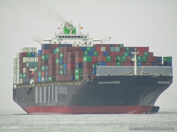
Vessel profile: CHARLESTON is a Container Ship with dimensions m x m.
This page combines live AIS, route history, probable destination signals, nearby traffic, and port activity for practical vessel monitoring.
The current position of vessel CHARLESTON is -26.95116 lat / 51.97613 lng. Updated: 2026-05-22 04:34:19 UTCNearest reference points:
- 271 nm E of Fort Dauphin
- Open sea, approx. 402 nm off the nearest listed port
- Open sea, approx. 401 nm off the nearest listed port
Currently sailing under the flag of Liberia ![]()
Details:
Live Vessel CHARLESTON Analytics (details, animations, etc.)
Recent AIS points (UTC):
2026-05-22 01:49:53 UTC · -27.27166, 51.03342 · SOG 19.4 kn · COG 69°2026-05-22 02:22:42 UTC · -27.20313, 51.21851 · SOG 19.5 kn · COG 69°
2026-05-22 03:38:11 UTC · -27.06299, 51.65768 · SOG 20.2 kn · COG 67°
2026-05-22 04:34:19 UTC · -26.95116, 51.97613 · SOG 18.8 kn · COG 65°