 TG LIBRA
Current Status
Where is the vessel?
TG LIBRA is currently in 38 nm SW of Kiamari, based on AIS data received about 15h ago.
Latest AIS update:
Current position: 24.49582° N, 66.36152° E (38 nm SW of Kiamari)
Average speed (last 7 days): Loading…
Average speed (last 30 days): Loading…
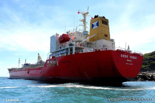
Vessel profile: TG LIBRA is a Tanker B with dimensions m x m.
This page combines live AIS, route history, probable destination signals, nearby traffic, and port activity for practical vessel monitoring.
The current position of vessel TG LIBRA is 24.49582 lat / 66.36152 lng. Updated: 2026-05-21 22:12:45 UTCNearest reference points:
- 16 nm S of Kiamari
- Near Kiamari
- Near PORT QASIM
Currently sailing under the flag of Liberia ![]()
Details:
Live Vessel TG LIBRA Analytics (details, animations, etc.)
Recent AIS points (UTC):
2026-05-21 19:25:53 UTC · 24.49579, 66.36147 · SOG 0.2 kn · COG -1°2026-05-21 19:35:54 UTC · 24.49579, 66.36147 · SOG 0.2 kn · COG -1°
2026-05-21 21:52:43 UTC · 24.49571, 66.36145 · SOG 0.3 kn · COG -1°
2026-05-21 22:12:45 UTC · 24.49582, 66.36152 · SOG 1.2 kn · COG -1°