 Karim Allah
Current Status
Where is the vessel?
Karim Allah is currently in 16 nm SE of Sveti Nikola, based on AIS data received about 17h ago.
Latest AIS update:
Current position: 43.31344° N, 28.79798° E (16 nm SE of Sveti Nikola)
Average speed (last 7 days): Loading…
Average speed (last 30 days): Loading…
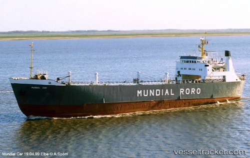
Vessel profile: Karim Allah is a Livestock Carrier with dimensions 82m x 14m.
This page combines live AIS, route history, probable destination signals, nearby traffic, and port activity for practical vessel monitoring.
The current position of vessel Karim Allah is 43.31344 lat / 28.79798 lng. Updated: 2026-05-21 10:18:19 UTCNearest reference points:
- Near Shabla
- 20 nm SE of Varna
- 20 nm E of Eforie Sud
Currently sailing under the flag of Lebanon ![]()
Karim Allah built in 1965 year
Deadweight:
1722 tDetails:
Live Vessel Karim Allah Analytics (details, animations, etc.)
Recent AIS points (UTC):
2026-05-21 09:53:19 UTC · 43.24652, 28.78922 · SOG 9.5 kn · COG -1°2026-05-21 10:18:19 UTC · 43.31344, 28.79798 · SOG 9.8 kn · COG -1°
2026-05-21 10:18:19 UTC · 43.31344, 28.79798 · SOG 9.8 kn · COG -1°
2026-05-21 10:18:19 UTC · 43.31344, 28.79798 · SOG 9.8 kn · COG -1°