 HALIVER
Current Status
Where is the vessel?
HALIVER is currently in Near Gemlick, based on AIS data received about 14h ago.
Latest AIS update:
Current position: 40.43831° N, 29.12210° E (Near Gemlick)
Average speed (last 7 days): Loading…
Average speed (last 30 days): Loading…
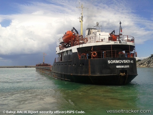
Vessel profile: HALIVER is a General Cargo with dimensions m x m.
This page combines live AIS, route history, probable destination signals, nearby traffic, and port activity for practical vessel monitoring.
The current position of vessel HALIVER is 40.43831 lat / 29.12210 lng. Updated: 2026-06-28 15:39:23 UTCNearest reference points:
- Near GEMLIK
- 11 nm S of Maltepe
- 14 nm SW of Maltepe
Currently sailing under the flag of Somalia ![]()
Details:
Live Vessel HALIVER Analytics (details, animations, etc.)
Recent AIS points (UTC):
2026-06-28 11:27:21 UTC · 40.43835, 29.12236 · SOG 0 kn · COG 25°2026-06-28 13:24:22 UTC · 40.43837, 29.12195 · SOG 0.1 kn · COG 30°
2026-06-28 14:21:23 UTC · 40.43828, 29.12214 · SOG 0.1 kn · COG 29°
2026-06-28 15:39:23 UTC · 40.43831, 29.12210 · SOG 0.1 kn · COG 22°