 vesseltracker.com
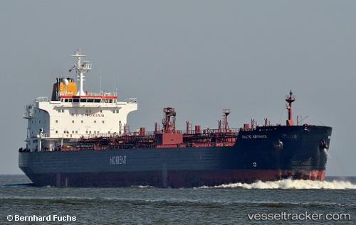
 TENDUA
Current Status
Where is the vessel?
TENDUA is currently in 73 nm W of Aurach Bei Kitzbuhel, based on AIS data received less than 1h ago.
Latest AIS update:
Current position: 48.12954° N, 14.22410° W (73 nm W of Aurach Bei Kitzbuhel)
Average speed (last 7 days): Loading…
Average speed (last 30 days): Loading…
Vessel profile: TENDUA is a Oil/Chemical Tanker with dimensions m x m.
This page combines live AIS, route history, probable destination signals, nearby traffic, and port activity for practical vessel monitoring.
The current position of vessel TENDUA is 48.12954 lat / -14.22410 lng. Updated: 2026-05-15 03:20:55 UTCNearest reference points:
- 24 nm N of Aurach Bei Kitzbuhel
Currently sailing under the flag of Sierra Leone ![]()
Details:
Live Vessel TENDUA Analytics (details, animations, etc.)
Recent AIS points (UTC):
2026-05-14 22:05:05 UTC · 49.15665, -14.58920 · SOG 12.2 kn · COG 165°2026-05-14 23:23:08 UTC · 48.89884, -14.49820 · SOG 12.2 kn · COG 165°
2026-05-14 23:23:08 UTC · 48.89884, -14.49820 · SOG 12.2 kn · COG 165°
2026-05-15 03:20:55 UTC · 48.12954, -14.22410 · SOG 12 kn · COG 164°