 LUNA LUSTER
Current Status
Where is the vessel?
LUNA LUSTER is currently in 54 nm NE of CHENJIAGANG, based on AIS data received about 14h ago.
Latest AIS update:
Current position: 34.98049° N, 120.65626° E (54 nm NE of CHENJIAGANG)
Average speed (last 7 days): Loading…
Average speed (last 30 days): Loading…
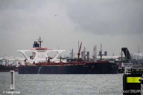
Vessel profile: LUNA LUSTER is a Crude Oil Tanker with dimensions m x m.
This page combines live AIS, route history, probable destination signals, nearby traffic, and port activity for practical vessel monitoring.
The current position of vessel LUNA LUSTER is 34.98049 lat / 120.65626 lng. Updated: 2026-05-21 04:54:14 UTCNearest reference points:
- 59 nm NE of CHENJIAGANG
- 62 nm NE of CHENJIAGANG
- 43 nm SE of DONGJIAKOU
Currently sailing under the flag of Sierra Leone ![]()
Details:
Live Vessel LUNA LUSTER Analytics (details, animations, etc.)
Recent AIS points (UTC):
2026-05-21 00:48:13 UTC · 34.98022, 120.64894 · SOG 0 kn · COG 57°2026-05-21 00:48:13 UTC · 34.98022, 120.64894 · SOG 0 kn · COG 57°
2026-05-21 00:48:13 UTC · 34.98022, 120.64894 · SOG 0 kn · COG 57°
2026-05-21 04:54:14 UTC · 34.98049, 120.65626 · SOG 0 kn · COG 284°