 vesseltracker.com
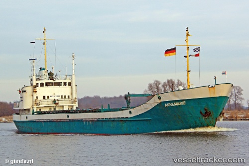
Vessel Angelica IMO: 6713283, MMSI: 730152039 General Cargo Ship
UTC, 11.90500, -80.26833, course: -1, speed: 9
UTC, 12.00667, -80.54333, course: -1, speed: 8
2026-02-27 09:57:09 UTC, 12.09741, -80.80836, course: -1, speed: 9
Live AIS position:
UTC. 60 nm SE of San Andrés),
updated 2026-02-27 09:57:09 UTC.
Find the position of the vessel Angelica on the map. The latter are known coordinates and path.
marine traffic ship tracker show on live map
The current position of vessel Angelica is 12.09741 lat / -80.80836 lng. Updated: 2026-02-27 09:57:09 UTCDetails:
Last coordinates of the vessel:
UTC, 11.79333, -79.96167, course: -1, speed: 9UTC, 11.90500, -80.26833, course: -1, speed: 9
UTC, 12.00667, -80.54333, course: -1, speed: 8
2026-02-27 09:57:09 UTC, 12.09741, -80.80836, course: -1, speed: 9